Cape Kiglapait Short Range Radar Site
Royal Canadian Air Force Short Range Radar Site in Newfoundland and Labrador
57°08′07″N 061°28′32″W / 57.13528°N 61.47556°W / 57.13528; -61.47556 (Cape Kiglapait LRR LAB-3)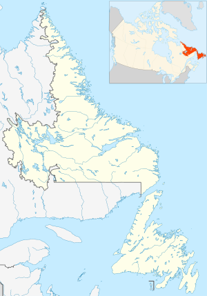

Cape Kiglapait (LAB-3)
class=notpageimage|
Location of Cape Kiglapait (LAB-3), LabradorMap all coordinates using OpenStreetMap
Download coordinates as:
- KML
- GPX (all coordinates)
- GPX (primary coordinates)
- GPX (secondary coordinates)
Cape Kiglapait Short Range Radar Site (LAB-3) is a Royal Canadian Air Force Short Range Radar Site located in the Kiglapait Mountains of Labrador, 268 miles (431 km) north of CFB Goose Bay, Newfoundland and Labrador.[1]
Facilities
The facility contains a Short Range AN/FPS-124 doppler airborne target surveillance radar that was installed in August 1992 as part of the North Warning System. The site (LAB-3) also consists of radar towers, communications facility, and storage and tunnel connected buildings for personnel.[2]
See also
- North Warning System
- Pinetree Line
References
![]() This article incorporates public domain material from the Air Force Historical Research Agency
This article incorporates public domain material from the Air Force Historical Research Agency
- v
- t
- e
Military installations in Newfoundland & Labrador
| Air Force |
|
|---|---|
| Navy |
|
| Norad |
|

 Canada Canada |
|
|---|---|
 England England | |
 France France |
|
 Nazi Germany Nazi Germany | |
 Great Britain Great Britain |
|
 United Kingdom United Kingdom | |
 United States United States |
|
 Category
 WikiProject
 Canada portal


External links
- About NORAD Public information
- Radar Information AN/FPS-117 Radar information from FAS
- Technical Radar Information AN/FPS-124 Radar information from FAS


