Radepont
| Radepont | |
| Kommun | |
 Klostret Fontaine-Guérard | |
| Land |  Frankrike Frankrike |
|---|---|
| Region | Normandie |
| Departement |  Eure Eure |
| Arrondissement | Les Andelys |
| Kanton | Fleury-sur-Andelle |
| Koordinater | 49°21′N 1°20′Ö / 49.350°N 1.333°Ö / 49.350; 1.333 |
| Yta | 15,81 km²[1] |
| Folkmängd | 649 ()[2] |
| Befolkningstäthet | 41 invånare/km² |
| Postnummer | 27380 |
| INSEE | 27487 |
| Geonames | 6430541 |
| OSM-karta | 3160791 |
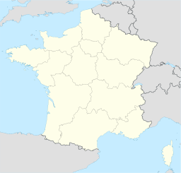  Kommunens läge i regionen Normandie i Frankrike | |
| Webbplats: http://www.radepont.fr | |

Radepont är en kommun i departementet Eure i regionen Normandie i norra Frankrike. Kommunen ligger i kantonen Fleury-sur-Andelle som tillhör arrondissementet Les Andelys. År 2021 hade Radepont 649 invånare.
Befolkningsutveckling
Antalet invånare i kommunen Radepont

Referens:INSEE[3]
Se även
Källor
- ^ Répertoire géographique des communes, Institut national de l'information géographique et forestière, läst: 26 oktober 2015, licens: öppen licens.[källa från Wikidata]
- ^ Populations légales 2021, Institut National de la Statistique et des Études Économiques, 28 december 2023.[källa från Wikidata]
- ^ Chiffres clés - Évolution et structure de la population Arkiverad 5 juli 2012 hämtat från the Wayback Machine.


