Quebec Route 249
Highway in Quebec
Major junctions R-112 in Magog (Omerville)
 R-220 in Sherbrooke
  R-222 in Saint-Denis-de-Brompton
 A-55 / R-143 in Windsor
 R-255 in Val-des-Sources
- Quebec provincial highways
←  R-247 R-247 | →  R-251 R-251 |
Route 249 is a two-lane north/south highway on the south shore of the Saint Lawrence River in Quebec, Canada. Its northern terminus is in Val-des-Sources at the junction of Route 255, and the southern terminus is at the junction of Route 112 close to Magog.
Municipalities along Route 249
- Magog
- Sherbrooke
- Saint-Denis-de-Brompton
- Saint-François-Xavier-de-Brompton, Quebec
- Windsor
- Val-Joli
- Saint-Claude
- Saint-Georges-de-Windsor
- Val-des-Sources
-
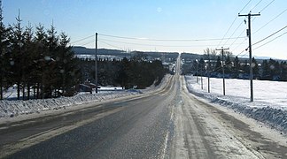 Rhéaume road south of Saint-Denis-de-Brompton.
 -
 Route 249 shares part of its route with route 222.
 -
 Principale street in Saint-François-Xavier-de-Brompton.
 -
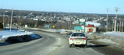 Route 249 descends in the valley of Saint-François River, near Windsor.
 -
 Bridge over the Saint-François in Windsor.


See also
References
- ^ Ministère des transports, "Distances routières", page 88, Les Publications du Québec, 2005
External links
- Route 249 on Google Maps
- Provincial Route Map (Courtesy of the Quebec Ministry of Transportation) (in French)
- v
- t
- e
 | This Quebec road, road transport or highway-related article is a stub. You can help Wikipedia by expanding it. |
- v
- t
- e


